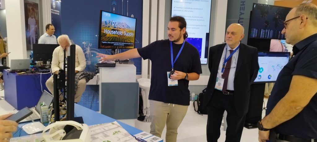
Τhessaloniki International Fair (TIF) is Greece’s largest annual trade fair open to the general public and is held every year in September. FORTH-ICS was invited to participate in the General Secretariat for Research and Technology booth, presenting the Smart Cities App-store and Smart-Cities Dashboard, as well as the XR Emergency Incident Manager.
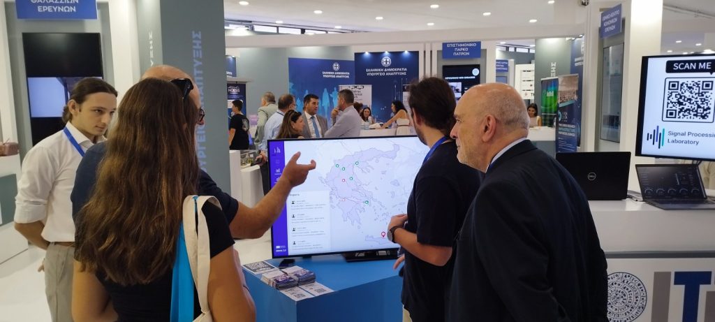
- Smart Cities App-store and Smart-Cities Dashboard
- The Smart Cities App-store constitutes a single platform serving both citizens and local government bodies, offering the ability to browse the available services of the Smart Cities Ecosystem, be informed about their content and have direct access to the corresponding applications for further information or use.
- The system Smart-Cities Dashboard includes a central dashboard and a mobile application that allow monitoring of environmental conditions in cities in Greece. It offers real-time data, interactive maps, notifications and personalized content. Specifically, users can browse dashboards for each city, compare data between cities, and report incidents or environmental issues. The app provides personalized notifications and updates based on the user’s profile and enhances environmental awareness through interactive visualizations and educational content.
- XR Emergency Incident Manager: The experimental application “XR Emergency Incident Manager”, using mixed reality technologies, enriches a physical map depicting an area with interactive visualizations, with the ultimate goal of supporting crisis management. Users can view critical information in real time, such as danger points (e.g., fires, floods), areas requiring protection (e.g., hospitals, schools) or evacuation routes, while the system allows live monitoring through cameras, filtering of available information levels and observation of the status of critical infrastructure.Additionally, through physical interaction with objects (such as placing small fire truck models on the printed map), users can evaluate different response scenarios. The experimental environment supports collaboration between multiple users, communication with emergency centers, and sending notifications to citizens. Finally, it offers sophisticated visualization and analysis tools for classifying incidents with risk labels (e.g., threat to human lives, cultural heritage, toxic materials), as well as for calculating the priority of each incident and the required resources (firefighting units, ambulances, etc.), which are dynamically updated based on the evolution of the situation.